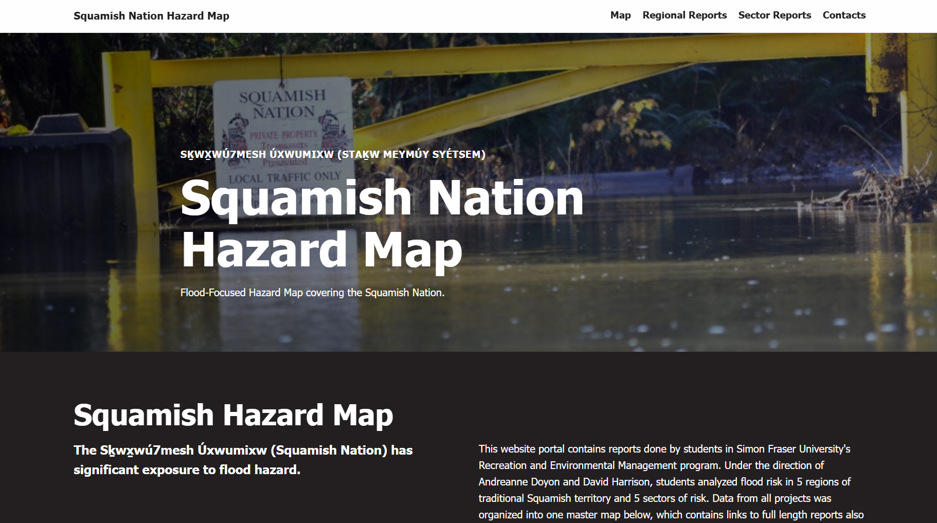
Squamish Flood HazardFeatured
Compilation of geospatial flood data for the Squamish Nation.
Jan 11, 2026
Compilation of geospatial flood data for the Squamish Nation.
Jan 11, 2026
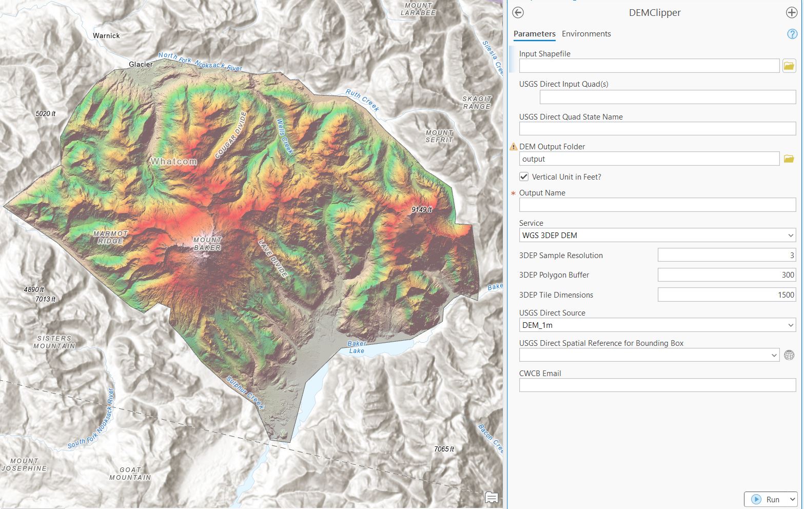
The DEM-Clipper accesses 3 federal and state collections of high-resolution LiDAR and DEMs.
Aug 6, 2025
The DEM-Clipper accesses 3 federal and state collections of high-resolution LiDAR and DEMs.
Aug 6, 2025
A quick python script to assist in the generation of YAML files used in the USGS GRFIN debris flow model.
Jul 7, 2025
The Treeline Mapper uses NDVI Satellite Imagery and LiDAR Canopy Cover to map treeline around Colorado.
Jun 30, 2025
The Groundwater Toolbox accesses 3 state and federal-level collections of groundwater data in the state of Colorado.
Dec 6, 2024