Treeline Mapper
July 7, 2025
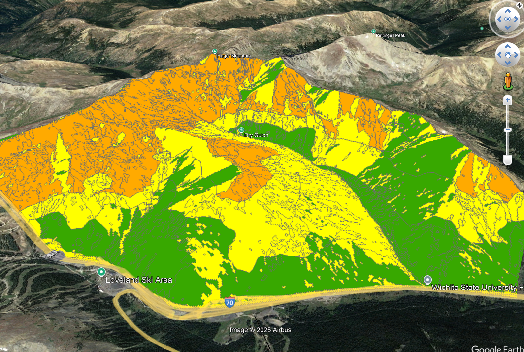
The treeline mapper is an ArcTool-based elevation-band mapping program which uses an input DEM, NDVI satellite raster, and point cloud-based canopy cover raster. It was developed at the CGS in collaboration with the CAIC. In addition to elevation, the tool can calculate aspect in order to map forecast regions in avalanche bulletins. There are a few dials that can adjust the output elevation, allowing the freedom to calibrate the program for various areas. Find the comprehensive tool on the CGS github here.