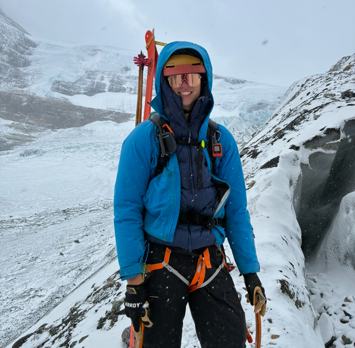
About Me
Declan Knies is a physics and GIS-focused avalanche researcher passionate about applying data, increasing automation, and creating clear, useful visualizations. He specializes in Python, QGIS, and ArcGIS workflows that transform satellite, LiDAR, InSAR, and industry, government, or user-collected sources into operator or user-focused products.
He is currently working towards a master's in resource management at SFU in avalanche science. His current research project involves using a BCMOT-collected avalanche occurance dataset to calibrate alpha angles for different terrain and climates.